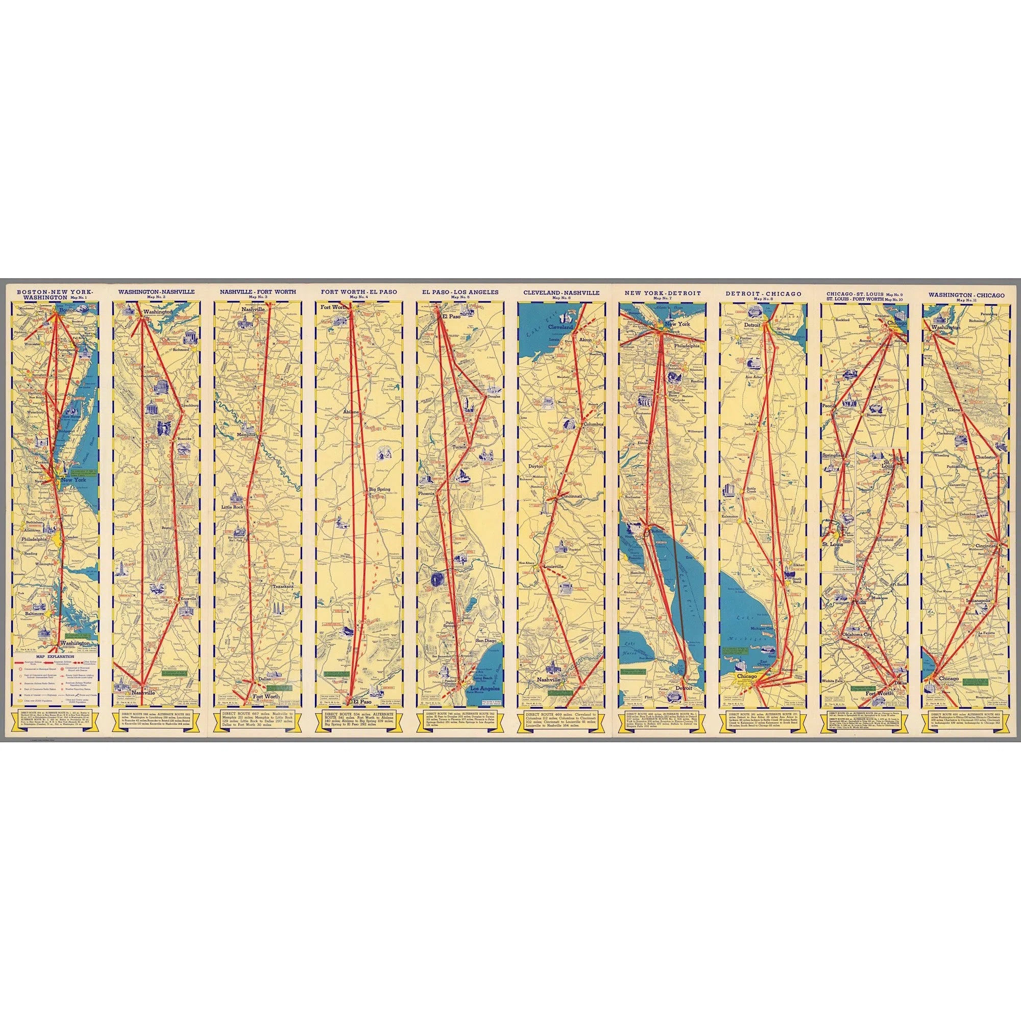

Ten aeronautical routes between American cities.
- Description
- Print media
Discover the map of the ten air routes between American cities, used by American Airlines in the past. Travel through time with these original and rare maps, and explore the network of cities connecting the United States. A must-have for aviation and history lovers!
This map, dating from 1936, shows the first routes that American Airlines planes offered between American cities.
This card will be perfect in your interior and will give a special touch to your decoration.
Discover our old maps printed on different media and add charm to your decor. Discovering them is a unique experience to share with those you love.
Treat yourself and let us seduce you!
Art paper - canvas - dibond - plexi .
Printing on art paper in 30x40, with or without standard frame in 40x50 format, available in 4 colors (white, black, natural, dark brown).
A white border acting as a mat only appears on the paper print in order to perfectly include the image in the format.
For the other supports (canvas, dibond and plexi), we adapt the image according to the chosen format.
Delivered with the appropriate hanging system, in a solid and suitable packaging.
Another non-standard format, a traditional bespoke frame, a special finish, ... anything is possible.
Contact us.
We will quickly make you a detailed offer.
Let us seduce you!
